Hjem » The road to World Heritage status
The road to World Heritage status
Some buildings, monuments and areas have a value to humanity that makes them irreplaceable. The world community has a shared responsibility to look after these places so that future generations will also be able to experience and enjoy them. But how do sites come to be inscribed on the World Heritage List?


Photo Per Eide
Outstanding World Heritage
Unesco is the UN’s Educational, Scientific and Cultural Organisation. This is the body that determines what sites are of outstanding universal value. Unesco’s World Heritage Committee thoroughly considers the matter based on expert advice and a number of strict criteria. The sites that make it through the needle’s eye, are inscribed on the World Heritage List.
The World Heritage List was established by Unesco in 1972. Its objective is to protect the world’s cultural and natural heritage. Successful sites must fulfil at least one of ten criteria, six of which relate to cultural values, four of which relate to natural values. The World Heritage List shows which sites and monuments have been designated on the basis of natural or cultural heritage criteria. Some are ‘combined sites’, and are on the List thanks to both natural and cultural superlative qualities.
Read more about the criteria here.

Photo Espen Haagensen
The World Heritage Convention
The World Heritage Convention is widely recognised and has been ratified by 194 countries. Its formal title is ‘Convention Concerning the Protection of the World Cultural and Natural Heritage’. It was adopted in 1972 because increasing numbers of heritage sites had suffered the impact of wars, natural disasters, pollution, tourism – or simply decay.
The Convention encourages all countries to protect their local and national heritage sites. The main aim is to identify outstanding cultural and natural heritage properties of significance to humankind. The need for a collaborative initiative, involving both human and financial resources, became apparent through the international rescue of cultural monuments in Egypt and Nubia in the face of plans to build the Aswan Dam in the 1960s. This would have flooded and destroyed the ancient Abu Simbel temples. Sixty countries took part in the rescue operation, including Norway.
The Convention’s secretariat is based at Unesco’s World Heritage Centre in Paris.
Read the full text of the World Heritage Convention here
For further background reading about the World Heritage Convention
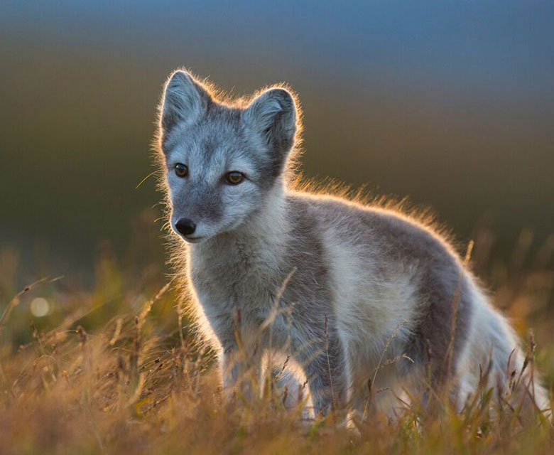
Photo Vegard Lødøen
How to achieve World Heritage status
The World Heritage Committee (21 states parties) meets annually to decide which sites nominated by a state party should be added to the World Heritage List. The process that leads to inscription on the World Heritage List is long and arduous. In Norway, the Ministry of Climate and Environment is responsible for all world heritage efforts, but the nomination of new sites needs a local footing. Further information about the application process is available from the Ministry of Climate and Environment’s Department for Cultural Environment.
If new nominations are found to meet the technical requirements, they are forwarded for expert assessment to the International Union for Conservation of Nature (IUCN) and the International Council on Monuments and Sites (ICOMOS). These advisory bodies submit their expert recommendation to the World Heritage Committee, which makes the final decision. The evaluation process takes a year and a half and involves site visits and discussions by international scientific panels made up of specialists in the application’s key thematic areas.

Photo Merete Løvoll Rønneberg
World Heritage in Norway
Norway had its first two nominations inscribed on Unesco’s World Heritage List as early as 1979: the old wharf of Bergen and Urnes stave church. The following sites have subsequently been added:
- Røros mining town (1980)
- The rock art of Alta (1985)
- The Vega Archipelago (2004)
- Struve Geodetic Arc (2005)
- West Norwegian Fjords (2005)
- Rjukan-Notodden industrial heritage site (2015)
Apart from the West Norwegian Fjords, all of these are cultural heritage sites. The West Norwegian Fjords were inscribed on 14 July 2005 at the 29th committee meeting in Durban, South Africa. It was Norway’s first World Heritage property to be inscribed for its natural heritage.
There is more information about Norway’s World Heritage sites here.

Photo Merete Løvoll Rønneberg
World Heritage globally
More than a thousand sites around the world have been inscribed on Unesco’s World Heritage List, most of them on account of their cultural heritage qualities, far fewer on the basis of their natural heritage. The inscriptions encompass the world’s most scenic areas, like the Great Barrier Reef, Yellowstone National Park and the Victoria Falls, and unique structures like the pyramids of Egypt and the Great Wall of China, but also memorials that commemorate horrific historic events, like the concentration and extermination camp at Auschwitz-Birkenau.
Unesco strives to ensure that the World Heritage List is as representative as possible. Most nations have natural or cultural heritage sites of outstanding universal value. Sadly, world heritage efforts have become politicised. Successful inscription carries significant prestige, which is why expert recommendations are not always accepted when new nominations are made. Today, the list is dominated by cultural rather than natural heritage, and by rich countries rather than poor countries.

Photo Merete Løvoll Rønneberg
The long journey towards the World Heritage List
It took around ten years for the West Norwegian Fjords to achieve inscription on the World Heritage List. The process involved extensive work by many people, including locally. Working groups local to both fjords contributed to the nomination process. These were made up of representatives from administrative and political bodies as well as landowners, business groupings and voluntary organisations. The working groups collected important information for inclusion in the application, and they were responsible for keeping local communities and other interested parties informed.
The Norwegian Environment Agency was commissioned by the Norwegian Ministry of the Environment to lead the work of compiling the application for the West Norwegian Fjords. The application was submitted to Unesco in January 2004. Unesco later revealed that the comprehensive Norwegian application was one of the best they have ever received.
Click here to read the application for the West Norwegian Fjords
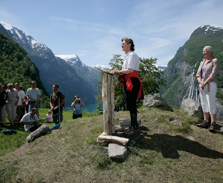
Photo Peder O. Dybvik
The decision: finally on the World Heritage List
The West Norwegian Fjords with areas Geirangerfjord and Nærøyfjord were inscribed on Unesco’s World Heritage List on 14 July 2005 during the 29th committee meeting held in Durban, South Africa.
The site was inscribed on the basis of two natural heritage criteria, numbers 7 and 8, due to its ‘…exceptional natural beauty’ and because the area has ‘outstanding examples of major stages of Earth’s history as well as significant on-going geological processes in the development of landforms, and significant geomorphic or physiographic features’.
In 2014, the original decision received a retrospective addendum, as all inscriptions were adjusted to fit a new template. This includes guidance for the World Heritage property’s management committee.
Read Unesco’s resolution here.
Statements of Outstanding Universal Value for the World Heritage property of West Norwegian Fjords – Geirangerfjord and Nærøyfjord
Adopted by the World Heritage Committee in its 38th session (DOHA, 2014)
(The official resolution was written in English, so the English text takes precedence over the Norwegian translation.)

Photo Merete Løvoll Rønneberg